
 Loading more
Page 2
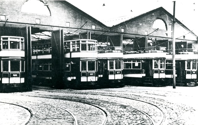
Also visible on the 1893 map is a Tramway Depot built alongside Whitebirk Road at Intack. It is close to Accrington Road on land that had previously been farmland which was owned by Blackburn Tramways Co Ltd. By 1898, Blackburn Corporation decided to take the enterprise over in the interests of the Borough's public, and, by 1899, had taken over Blackburn and Over Darwen's Tramway track within the Borough which covered two and half miles. The total cost of both operations was £109,000. Once purchased they began to equip each section of the existing tramway with electricity at a cost of £150,000. The systems route now extended to 14½ miles. At the same time, 48 double-decker open topped trams and 12 single deck trams were purchased, but, it was not until 1907, that all the trams were housed at the Intack Depot. Previously some trams were housed at the Simmons Street, Jubilee Street and Intack Depots. Earlier trams had first been pulled by horses and then by steam engines. The new electric system required overhead electric wires built along the routes supported by posts with arms stretching out to hold the wires. Electric tram services first started in 1899 on Preston New Road and Witton Stocks, followed in 1900, by the Bolton Road to Darwen Borough Boundary. Initially, for the first six years until 1905, the system ran at a loss, but thereafter, it proved to be a financial success for the Corporation. The 48 open topped double decker trams also had an open platform therefore drivers and conductors were subjected to all weathers.
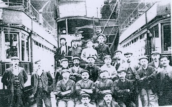
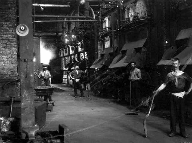
Intack Tram Depot mechanics shown in oil-stained working clothes and obligatory hats
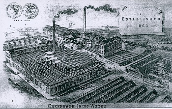
Henry Livesey, Greenbank Iron Works in 1863
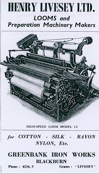
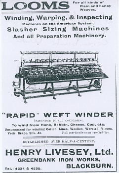
Adverts for Henry Livesey Limited Looms and Weft Winder in the 1920’s
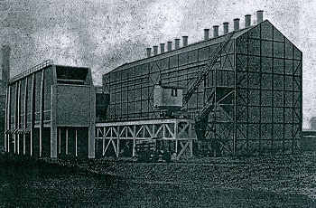
New Gas Works built at the Greenbank site
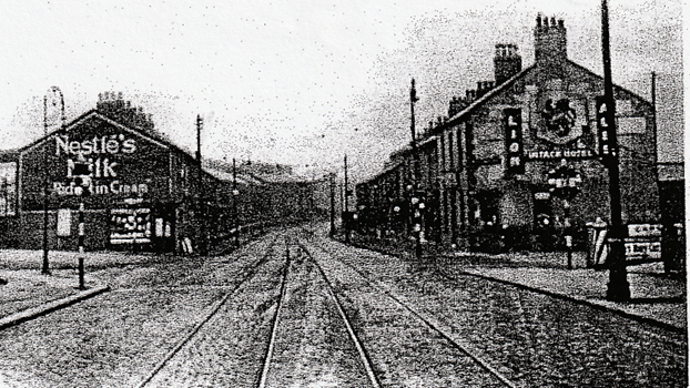
This early 1900’s view of Whitebirk Drive’s junction with Accrington Road shows the Intack Hotel
on the right owned by Lion Brewery and tram lines leading into Blackburn centre from Accrington lined by terraced houses
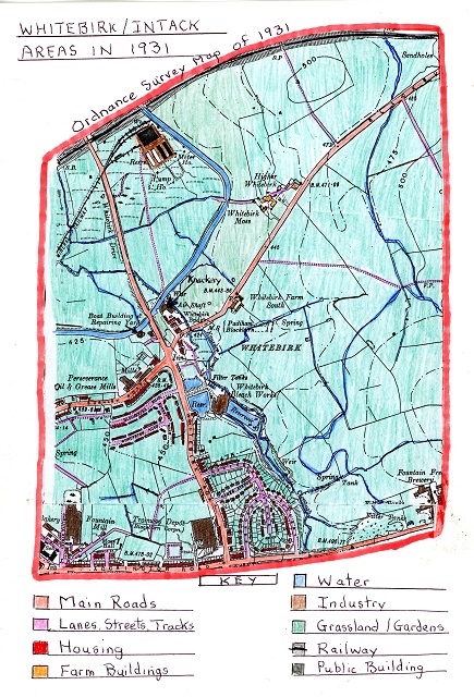
The 1931 Ordnance Survey Map of the Whitebirk and Intack Areas
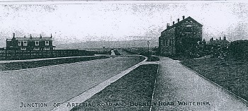
A view of the junction of Whitebirk Drive (Arterial Road) and Burnley Road at Whitebirk
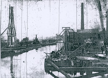
The position of a new bridge built over the Leeds Liverpool Canal taking the new road over it at Whitebirk.
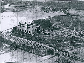
An aerial view of the new Whitebirk Electric Power Station site and its four wooden cooling towers
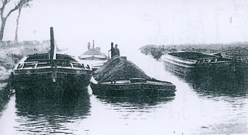
to Whitebirk Power Station and Greenbank gas works. Canal transport of heavy products
such as coal was very economical e.g. one barge with two trailers could bring 140 tons of coal from Burnley to Whitebirk.
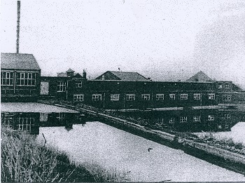
A picture showing the increased premises at Whitebirk bleach works and their reservoirs.
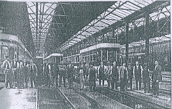
A view of the employed mechanics at Intack Tram Depot.
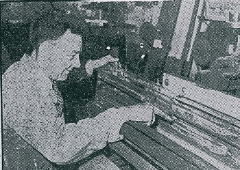
A view of Mr. Peter Bolton and his two-shuttle slay machine he had invented.
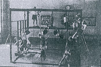
Due to the increased housing in the area a new primary school was required to provide education. In 1931, Intack Junior Council School was officially opened by Alderman W.H. Grimshaw and the Mayor, Alderman Luke Bates. Apart from meeting the needs of the council estates it was also linked closely to Accrington Road senior school. It started with 450 pupils between the ages of 3 and 11 years and the accommodation included an Assembly Hall, eight classrooms and two special rooms for craft work and an open-air one for infant children. The classrooms and Assembly Hall opened out on to two quadrangles with glazed verandas to enable access under cover for moving about the school. The school was built to a design under the supervision of the Borough Engineer, Borough Clerk of Works and borough Architects.
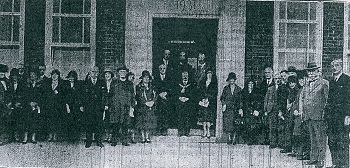
The School Opening Day in September 1931 with the Mayor and other dignitaries.
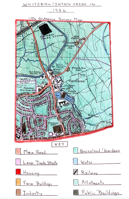
The 1956 Ordnance Survey Map of Whitebirk and Intack Areas
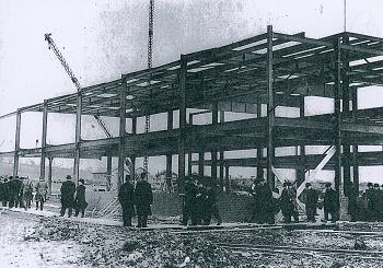
The new Philip’s factory being constructed.
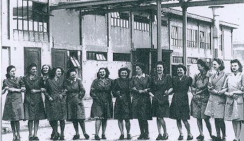
Mullard factory girls pose for a picture showing the growth of female labour force in the early 1950’s.
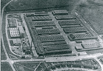
At the Greenbank Gas Works, the site continued to be extended to meet the increased demand for gas. Coal was still used to produce the gas. The site also had a large gasometer to store gas before it was moved locally into the now established National Gas Grid system.
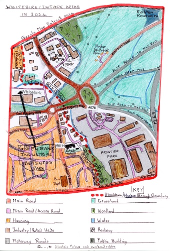
The 2024 Google Extract Map of Whitebirk and Intack Areas
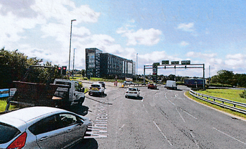
A modern view of Whitebirk Roundabout and traffic with the new Frontier Park
Industrial Park off to the right and the new Hilton Hotel
A large percentage of the increased volume of traffic at Whitebirk can be attributed to the huge increase service industries on the four designated Industrial/Retail/Business Parks and the huge increase of private ownership of motorised transport vehicles today.
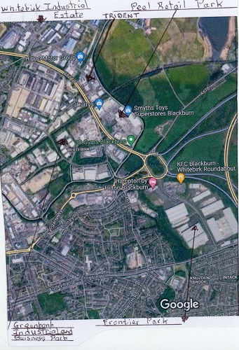
An modern aerial view of Whitebirk and Intack annotated to point out key places of the areas today.
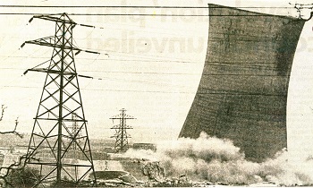
A picture showing one of the cooling towers of the former Power station being demolished
in May 1983. On the left you can see the base of a
second tower which had already been brought down
11. The Greenbank gas station was also demolished as gas supplies now came via the Gas National grid as gas supplies now came from Natural Gas Sites in the North and Irish Seas from off-shore Gas Rigs, or, is imported in liquified form.
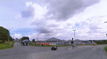
The entrance to Whitebirk Industrial Estate off
Whitebirk Drive which is shown in the foreground
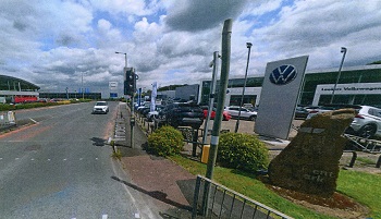
A view of Trident Way, the central access road in the park with Lookers VW car sales centre
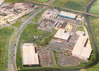
An aerial view of the original Peel Retail Park in the 1980’s with MFI (DIY) store on the bottom left,
Payless in the centre (now Aldi) and Queensway Carpets on the right by the canal
and the electric sub-station near Whitebirk Drive. On the left side of Whitebirk Drive
can be seen North-West Electrics depot in the Greenbank Industrial Estate.
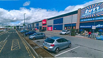
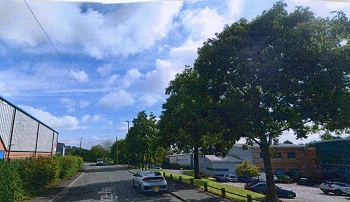
A view down the main access road in Greenbank Industrial Park called Challenge Way
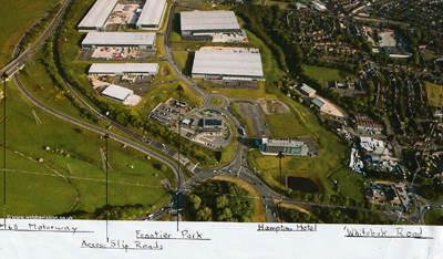
An annotated aerial picture of Frontier Park’s location.
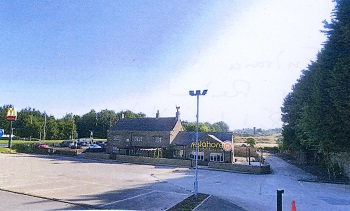
The Mylahore Indian Restaurant in the old Red Lion Hotel and the sign for the
McDonalds Restaurant behind both sited by the link road leading off from Whitebirk Roundabout
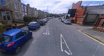
An old industrial building shown on the right which is now divided into units for motor
vehicle repairs with the original Burnley Road terraced houses shown on the left of the picture
The author's own local history collection