
 Loading more
History of Shire Brow
The History of Shire Brow
By
Mike Sumner
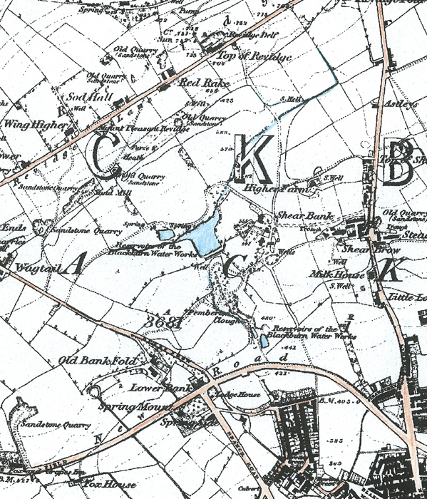
An extract from the 1850 Ordnance Survey Map of the area found north of Blackburn centre and south of Revidge Road
showing the upgraded Shear Brow from the former track, the hamlets mentioned, the newly created Preston New Road and the northern parts of Blackburn
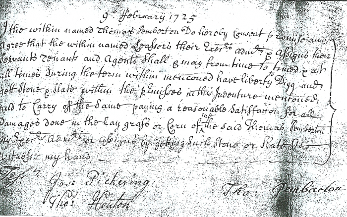
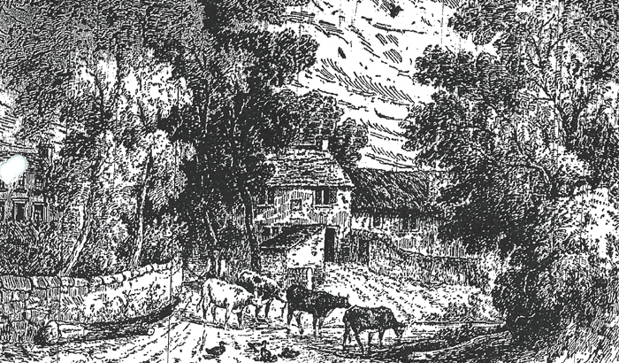
and the ancient track leading from it to Shear bank Road
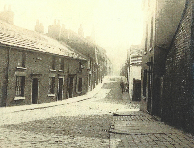
An early 1900's view of Winter Street where one of the early water pipes ran to a fixed stand pipe
Due to Pemberton Shire Bank Farm being on an elevated position overlooking what was then becoming a more industrialized Blackburn it was described as the most beautiful place in Blackburn in the late 1700's. However by the early 1800's, as the industrialization of Blackburn grew considerably with the ever expanding Textile Industry the Pemberton family turned to the in vogue cotton manufacturing when James Pemberton established Roe Lee Mills near Blackburn cemetery and also built nearby terraced houses including those along Pemberton Street for its operatives. Shire Bank Farm tenancy was taken over when John Pemberton left the farm and was taken over by Edward Coar who was then succeeded by his brother James Coar until later when it and its lands along with those of George Radcliffe were sold to the town and one of its Lords Joseph Feilden. Mr. George Radcliffe built Shire Bank House in about 1830 which was sited close to Shire Bank Farm. He was a surveyor by profession and an agent dealing with the estates of the Feildens of Witton Park and Feniscowles areas and also for the Cardwell family. Just like the Pemberton family he farmed a large estate in the area abutting their land and on the Revidge hill side. As his lands dovetailed with the Pemberton's and in places mixed up each had to cross the others land at various points to get from one part of their farm to the other. This proved inconvenient and as both had the same landlord they mutually agreed an exchange of land at certain places to make each farm more compact. His farm extended from his house over half the land now covered by the lakes across to the bottom of Dukes Brow and up the Clough of Revidge on the other side. The two tenements were approached by a winding cart track (see map) which has since been straightened improved and widened running into Shear Brow and is now Shear Bank Road and the fields on either side of this road were part of the two farms lands and are now covered by various Victorian and Edwardian houses both terraced and large detached properties. Large Trees still present in the area are the remains of those that once stood in Pemberton Clough. Other old trees including sycamore, oak, and alder are still to be seen in Corporation Park and Lilford Road.
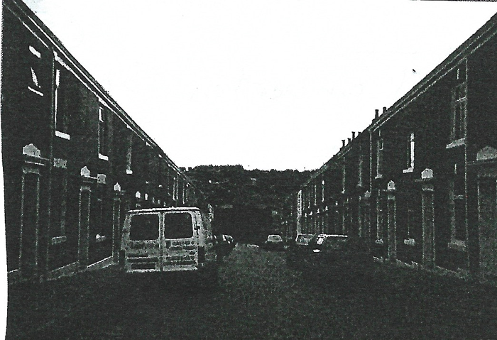
A 1955 view of the former Pemberton Street cottages built by
James Pemberton for his cotton mill operatives
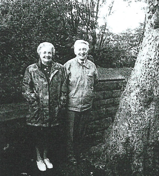
by a tree that was on the site of the former Shire Bank Family farm pictured in 1995
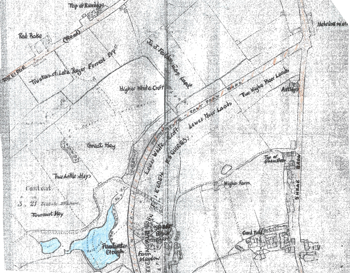
of East Park Road in the 1850’s showing the ponds and some of the fields
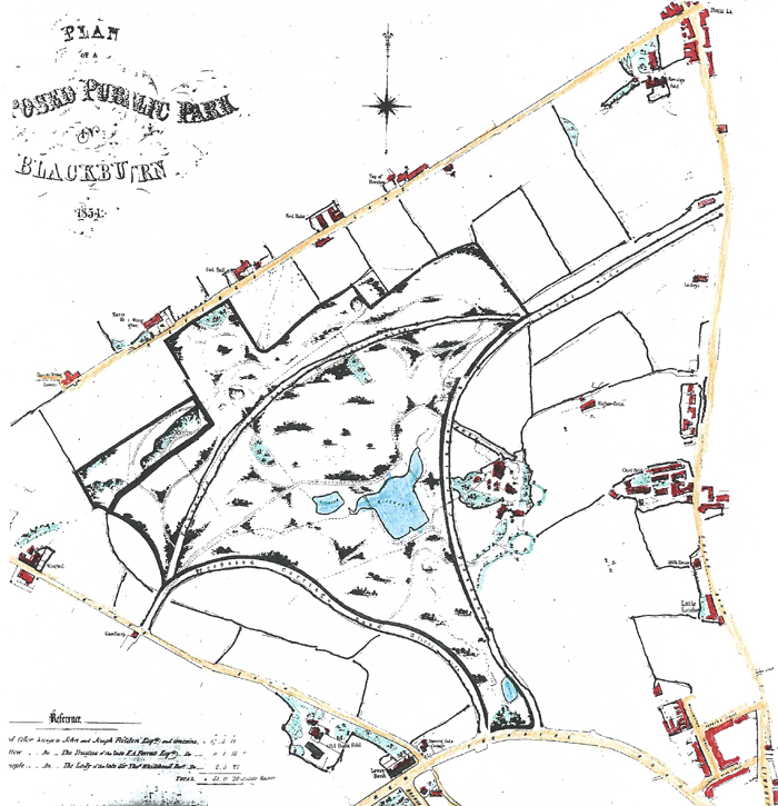
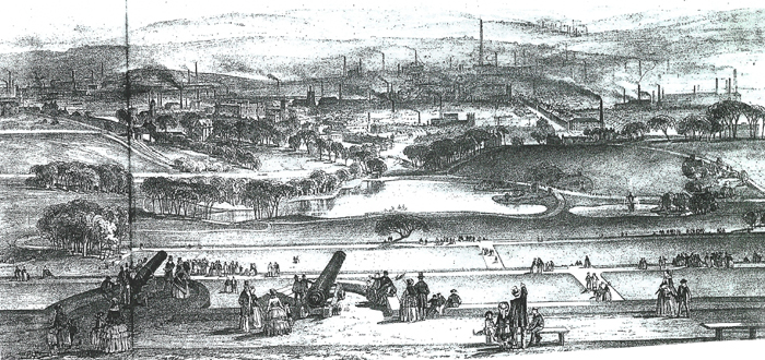
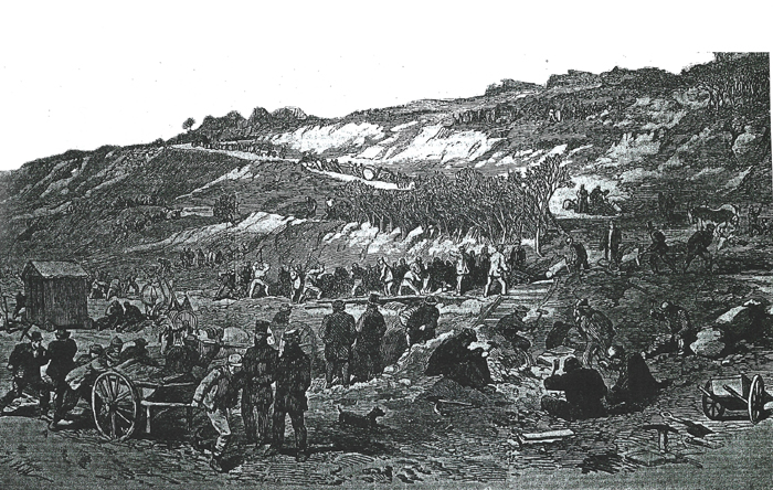
given work to create Revidge Road and the northern steep slopes of Corporation Park
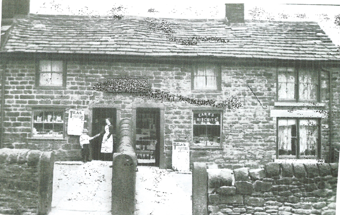
showing the ancient cottages which by now had opened up as a café and shop to serve the needs of locals and visitors to the park via the Revidge Road entrances
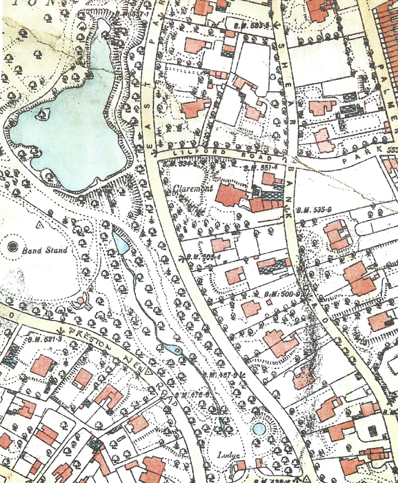
Shear Bank Road and the many new large detached houses alongside Corporation Park
which proved very popular sites for the increasingly wealthy industrialists of the town and the